A powerful El Niño climate phenomenon currently taking shape across the Pacific Ocean is projected to reach unprecedented levels by the end of 2026, carrying potential consequences for weather patterns in the United Kingdom. Although the Pacific basin is located thousands of miles away, meteorological shifts originating in the region frequently alter global atmospheric circulation. Officials at the Met Office indicate that these widespread disruptions could result in a particularly wet and turbulent autumn and early winter across the British Isles.
While meteorological authorities emphasize that every El Niño cycle exhibits unique characteristics, current computer projections show signals pointing toward heightened rainfall and increased storm activity as the year progresses. Particular emphasis is placed on the late autumn months, with conditions potentially turning severe by November and December. Experts note that the sheer scale of the developing Pacific phenomenon is unlike anything previously recorded in modern observational datasets.
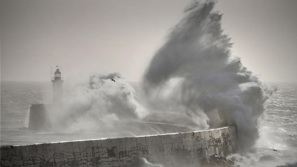
The anticipated shift toward wetter conditions arrives on the heels of a scorching summer that left significant portions of the nation struggling with ongoing drought. Although additional rainfall could help alleviate dry ground, meteorologists warn that the combination of storm systems and climate change elevates the risk of severe flooding. High winds accompanying these systems could also trigger infrastructure damage, widespread transport delays, and power outages. Historical precedent exists for such conditions; a major El Niño phase during the winter of 2015 and 2016 contributed to a succession of intense storms and record-breaking floods.
Regarding the prospects for late winter and early 2027, predictions remain less definitive. Past El Niño phases have occasionally coincided with notable cold spells in the UK, such as the severe freezing temperatures observed during the winter of 2009 and 2010. Conversely, other strong El Niño years, including the winter of 2006 and 2007, produced unseasonably mild conditions. Because historical evidence linking the Pacific cycle to British winter temperatures is mixed, forecasters stress that extended cold snaps are not guaranteed.
On a global scale, an intense El Niño typically elevates average planetary temperatures by a fraction of a degree. When combined with ongoing human-induced climate change, this temporary boost can amplify the frequency of heatwaves worldwide. However, researchers note that the direct connection between the Pacific phenomenon and high temperatures in the UK is less straightforward. Scientists from the University of Reading point out that long-term global warming remains the primary factor driving rising temperatures and extreme heat risks locally, while the ultimate impact on subsequent seasons remains difficult to predict with certainty.
Reporting based on coverage first published by BBC News. Read the original report at BBC News.


